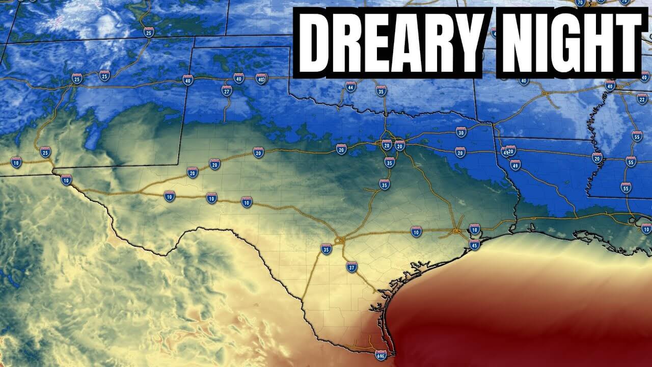
The KHOU 11 Weather Team has issued a Weather Impact Alert Day for Sunday in Houston. An upper-level low is expected over Texas this weekend, bringing showers starting Saturday afternoon and rounds of rain through Saturday night and Sunday. Due to the saturated ground, areas may face challenges handling training thunderstorms, increasing the risk of localized flooding.
Training thunderstorms occur when a series of storms move repeatedly over the same area, leading to heavy rainfall and potential flooding. This situation can be exacerbated by already saturated ground, as the soil may struggle to absorb the excess water. The Weather Impact Alert in effect for Sunday highlights the concerns over potential flooding, with rainfall totals predicted to reach 3 to 6 inches in some areas between Saturday and Sunday.
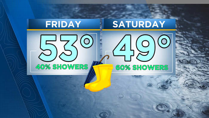
On Saturday, showers are likely, mainly in the afternoon, with a 60% chance of rain and a high near 58 degrees. Saturday night may see showers transitioning into possible thunderstorms after midnight, with an 80% chance of rain. The National Weather Service has identified a Level 2 threat for potential street flooding, particularly east of Beltway 8 East.
Looking ahead, on Friday morning, clouds will clear, and temperatures will drop, starting in the 30s and reaching highs in the 50s. These conditions indicate a cold day ahead. As the weekend progresses, the weather pattern is expected to bring varied levels of rainfall and potential flooding risks to the region.
Moving over to San Antonio, Justin Horne, KSAT Weather Authority Meteorologist, notes light rain west of the city with dry air preventing rainfall from reaching the ground initially. Spotty showers are expected in the afternoon, with cool and cloudy conditions. Showers could become more widespread on Saturday, keeping temperatures in the 40s with lower rain expectations. The Rock 'n' Roll Marathon on Sunday may still face damp conditions, with temperatures rebounding into the 60s later in the day.
Looking further ahead, another front is expected next week to bring cooler air, potentially leading to near-freezing temperatures in San Antonio by Thursday morning. The changing weather patterns highlight the need for ongoing monitoring and preparation for varying conditions in Texas.
Overall, both the Houston and San Antonio regions are bracing for significant weather fluctuations over the coming days, with a watchful eye on the potential impacts of heavy rainfall and localized flooding. Stay informed, stay safe, and be prepared for changing weather conditions in your area.


