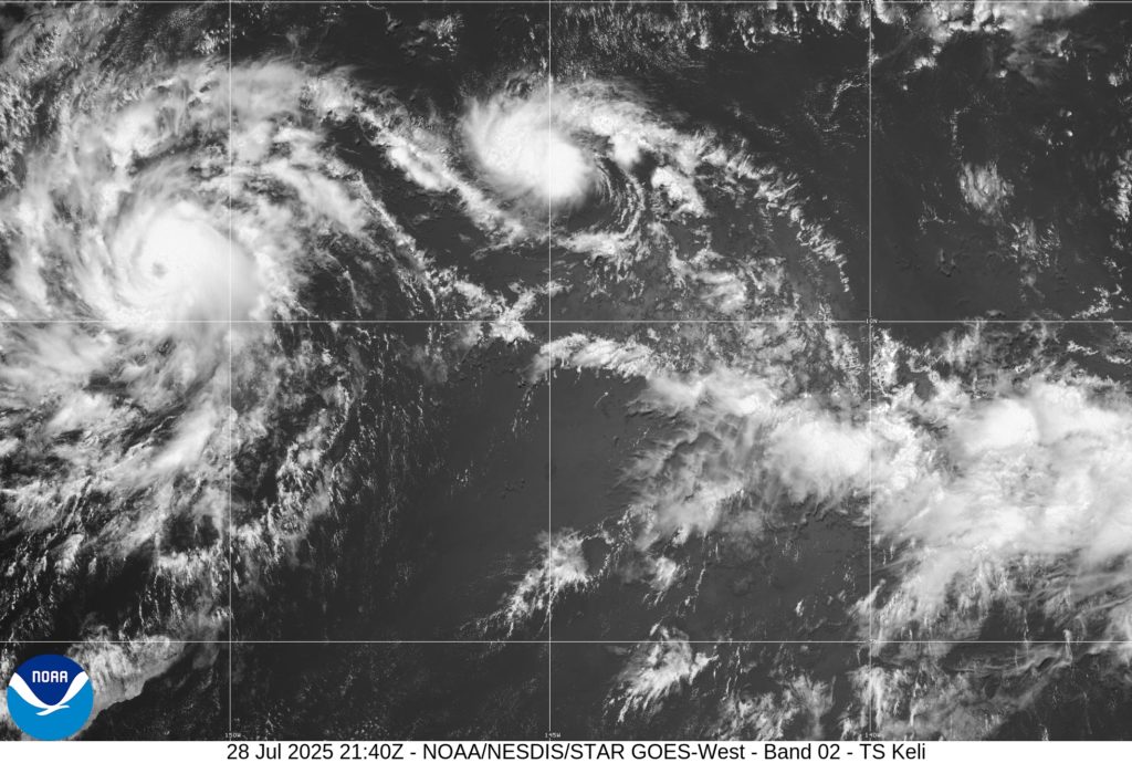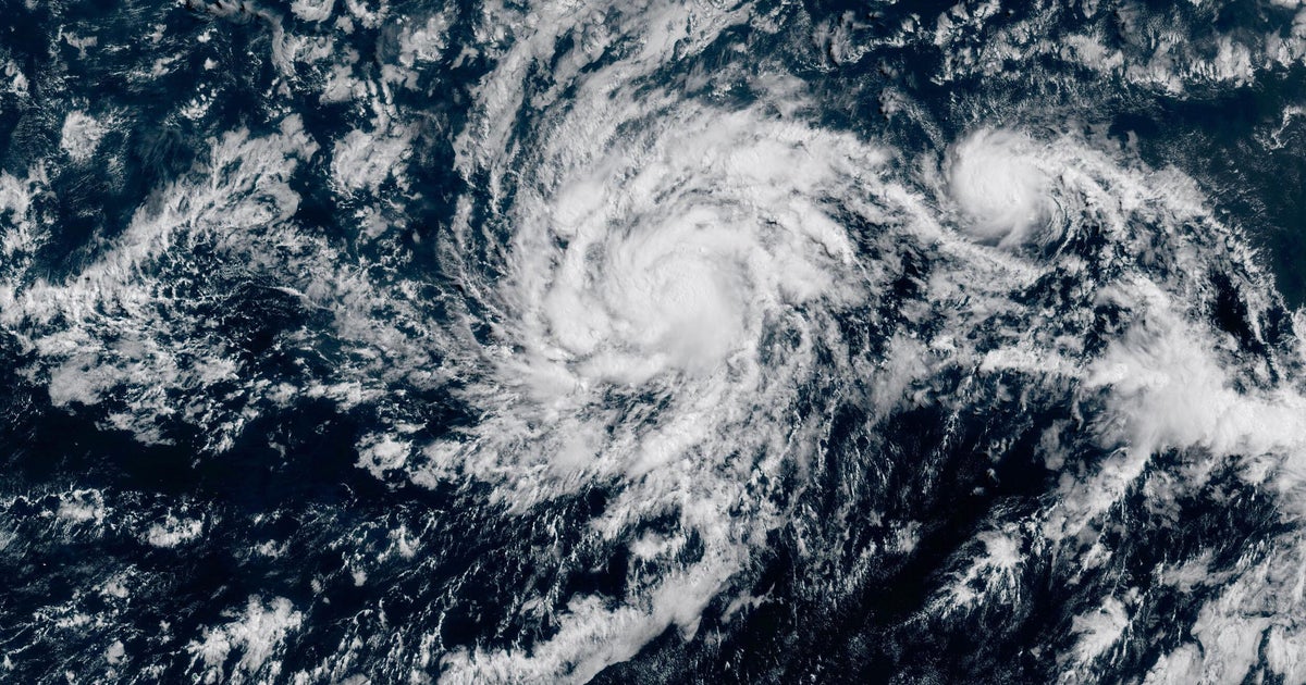
Hurricane Iona, a Category 3 storm, has gained strength in the central Pacific Ocean, positioned several hundred miles south of Hawaii. As of the latest update, Iona boasted maximum sustained winds nearing 115 mph, prompting the National Hurricane Center in Miami to closely monitor its trajectory. Fortunately, the storm currently does not pose an immediate threat to the Hawaiian Islands, with no coastal watches or warnings in effect. Its projected westward movement over the next days is expected to bring about additional strengthening before a gradual weakening phase commences by Wednesday.
Iona's formation journey began as a tropical depression late last Saturday, quickly escalating to become the first named storm in the central Pacific this season. Alongside Hurricane Iona, Tropical Storm Keli is also active in the central Pacific. Positioned farther south with sustained winds of 40 mph, Keli is approximately 960 miles southeast of Honolulu, moving westward at a rate of about 12 mph. While Iona and Keli dominate the central Pacific, the eastern Pacific has experienced its share of named storms this season, with notable hurricanes like Erick and Flossie making appearances without making landfall.
Looking beyond the Pacific, the Atlantic Ocean has remained relatively serene so far, with just three named tropical storms. However, Colorado State University forecasters anticipate increased activity in the Atlantic, with expectations of 16 named storms, eight of which might evolve into hurricanes. The contrasting calmness in the Atlantic emphasizes the Pacific's current activity and the need for continued vigilance and monitoring of the developing weather systems.
Meanwhile, Hurricane Iona's movement south of Hawaii is being observed closely, with experts estimating potential indirect effects on the islands. The system heralds dry and breezy conditions due to the downward pressure winds generated by the storm, which meteorologists believe won't culminate in significant impacts on Hawaii. Such conditions mirror those witnessed during Hurricane Dora's passing in 2023, which led to dry, windy weather that exacerbated a devastating fire in Lahaina.
As the nation prudently navigates the tropics' dynamic weather patterns, various agencies, including the National Weather Service and emergency management officials, are actively engaging in real-time monitoring and planning exercises to ensure preparedness and alertness. While the specter of unpredictable weather looms large, these proactive measures and information-sharing initiatives aim to enhance public safety and mitigate potential risks.
In light of the evolving tropical cyclones and associated weather patterns, experts continue to stress the importance of preparedness and timely action. Understanding the genesis of hurricanes, the critical role of warm ocean waters in their formation, and the progression from tropical depression to named storm underscores the urgency of disaster planning and readiness efforts. As weather authorities track these storm systems and assess potential impacts, preemptive measures such as securing disaster supplies and ensuring insurance coverage remain vital components of effective disaster management strategies.
In conclusion, the current hurricane activity in the Pacific Ocean, notably with Hurricane Iona and Tropical Storm Keli, underscores the need for vigilance and preparedness in the face of dynamic weather conditions. By staying informed, heeding official forecasts, and proactively readying for potential impacts, individuals and communities can navigate the uncertainties of hurricane season with resilience and caution.