An intense cyclone system is fueling a mix of severe weather across the United States, with a winter storm hitting upper parts of the country. The National Weather Service cNWSc has issued winter storm warnings from Montana to Maine and Texas to Pennsylvania, affecting over eight million people. Additionally, almost two million people are under blizzard warnings.
Meteorologists warn that an arctic front colliding with warm air could lead to the formation of a 'bomb cyclone' over the Midwest and Great Lakes by Monday. A 'bomb cyclone' is characterized by rapidly deepening low pressure that results in extreme weather conditions.
NWS Lead Forecaster Bob Oravec anticipates significant snowfalls, especially in east-central Minnesota, northern Wisconsin, and Michigan's Upper Peninsula with potential accumulations of 6-12 inches. Blizzard conditions, with near zero visibility and the possibility of power outages, are expected in Michigan's Upper Peninsula, where up to a foot of snow and winds of 40-65 miles per hour are forecast.
Marquette Mayor Paul Schloegel emphasized the city's preparedness for potential electricity disruptions, highlighting the dedication of public works and Michigan Department of Transportation cMDOTc crews. The mayor expressed the community's appreciation for blizzard conditions and the unique influence of Lake Superior on the local climate.
Minnesota is also bracing for significant impacts, with blizzard and winter storm warnings in effect for most of the state. The Twin Cities could see up to 10 inches of snow, leading to potentially hazardous travel conditions.
The 'bomb cyclone' is driving temperatures below freezing, with wind chill values as low as 15 degrees below zero in Havre, Montana. Meanwhile, Dallas, Texas, is expecting a dramatic temperature drop from the 80s to the 40s within a day.
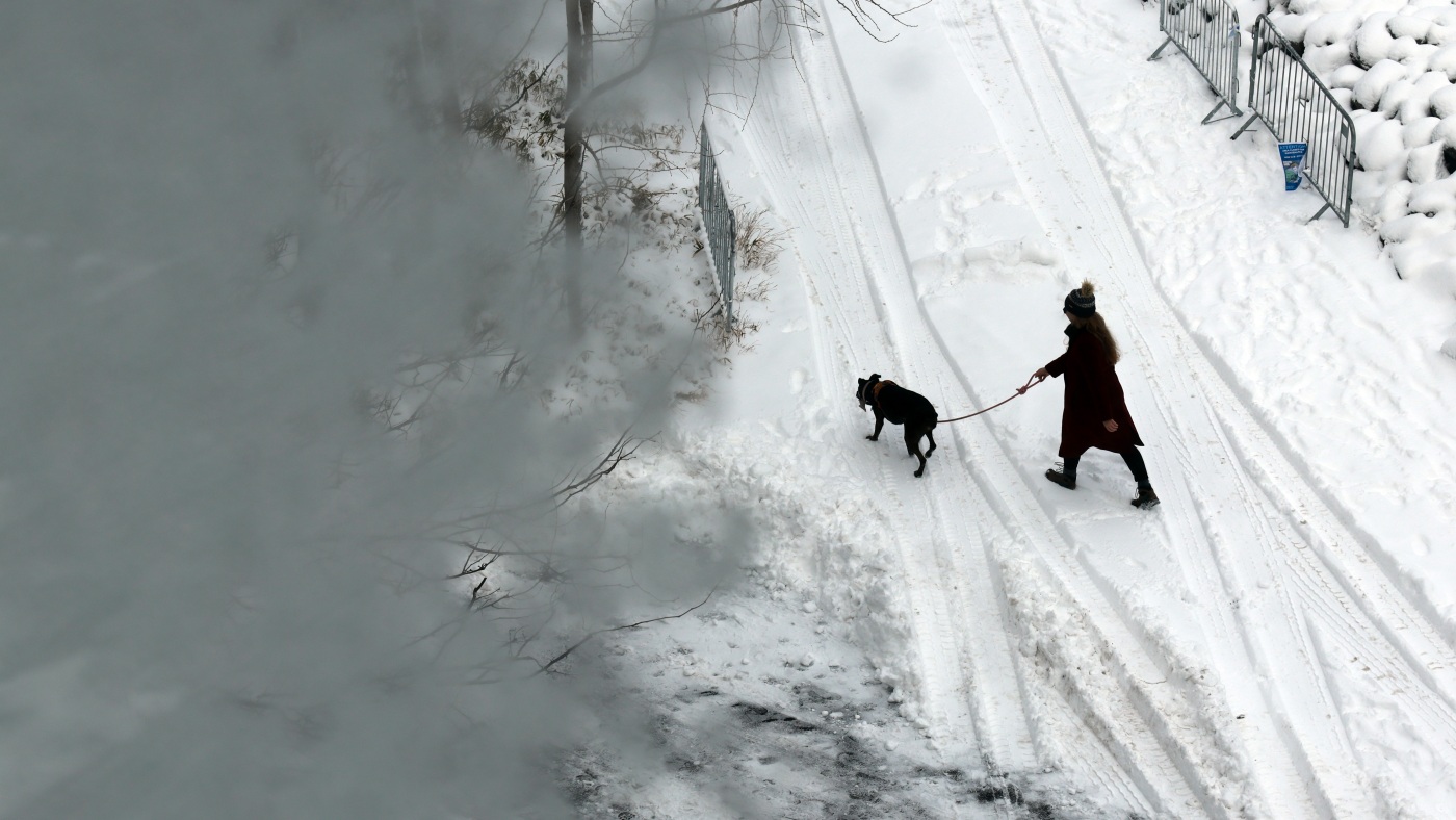
In the Northeast, freezing rain is predicted to cause travel disruptions, including icing in northern New England and northern New York. As colder air moves into New York City, remaining snow from the weekend storm is expected to freeze, accentuating the already challenging travel conditions.
As the next winter storm looms, over 40 million people are on alert for snow, strong winds, and rain from the Dakotas through the Great Lakes into northern New England. Blizzard warnings span North Dakota to Iowa and Michigan's Upper Peninsula, with snowfall projections ranging from 3 to 24 inches and wind gusts up to 60 mph.
Winter storm warnings have been issued for eastern Minnesota to northern Michigan, including Minneapolis, Green Bay, and Sault Ste. Marie, with heavy snow and gusty winds expected. The Northeast, from Pennsylvania to Maine, is under winter weather advisories for freezing rain. Additionally, a flood watch is in place for parts of western New York.
The storm is forecast to move into the Midwest and Northeast, bringing snow and gusty winds. Minneapolis, Green Bay, and Marquette are expected to experience heavy snow and reduced visibility, while parts of the I-95 corridor could see freezing rain before transitioning to rain.
The heaviest snowfall is predicted in the Midwest, with Minneapolis and Green Bay possibly receiving 5-8 inches of snow and some ice accumulation. Marquette and the Upper Peninsula of Michigan may see up to 2 feet of snow with strong winds. Northern New England could experience significant ice accumulations, especially in higher elevations.
After the storm system clears on Monday night, lake-effect snow is expected to persist in the eastern Great Lakes and interior Northeast through Tuesday. The implications of this weather pattern will continue to unfold, impacting travel and daily life for millions in the affected regions.