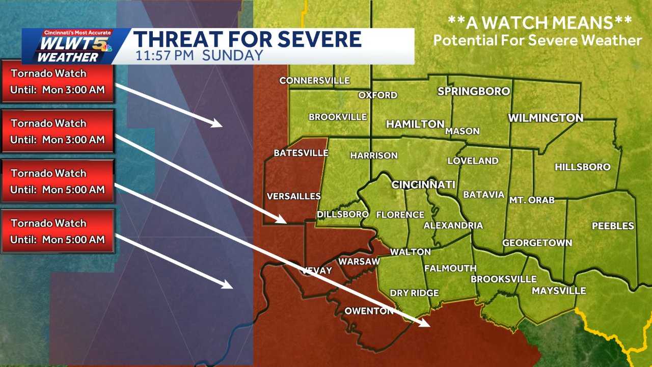
Severe weather is affecting parts of Kentucky and surrounding regions, with thunderstorms moving through the area. A tornado watch has been issued for portions of Indiana and Kentucky as conditions support the possibility of severe storms.
Forecasters have warned that storms may bring strong wind gusts, heavy rain, and the potential for brief tornado activity. Some areas could experience winds reaching up to 80 mph as the system moves through.
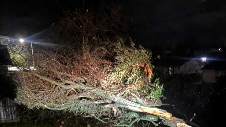
The storms have already caused disruptions, including power outages affecting thousands of residents in the Louisville area. Emergency crews are working to respond to reported damage and restore services.
Additional weather alerts, including wind advisories and freeze warnings, have been issued across parts of Kentucky and Tennessee. These conditions are expected to follow the initial storm system.
Weather officials have noted that conditions may change quickly, with a drop in temperatures possible after the storms pass. Residents have been advised to stay updated on local forecasts and follow safety guidance.
Authorities continue to monitor the situation as the storm system progresses through the region.